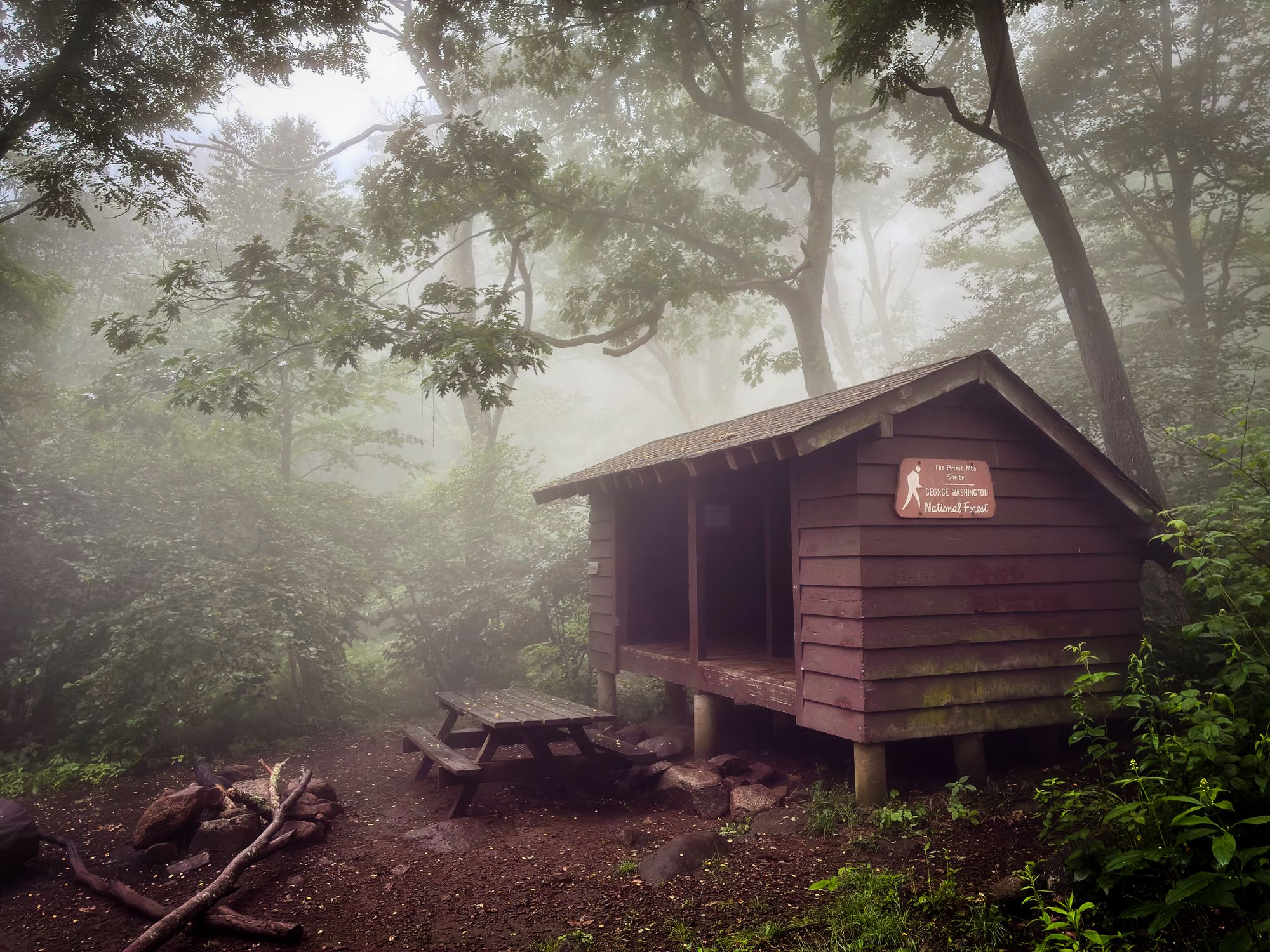
Seven years ago I hiked half the Appalachian Trail, from its midpoint in Harper’s Ferry, WV, to its northern terminus at Katahdin, ME. This year I finished the remaining half of the trail, from Springer Mountain, GA, back to Harper’s Ferry, WV.
It’s been a long journey, split apart by a long hiatus. It’s one of the most memorable and worthwhile things I’ve done in my life, and I don’t have space here to really capture why (shameless promo: buy my book, when it’s written and released!). I’m now in the process of putting together my thoughts about the entire trail, but I did want to get out a quick post and some highlight photos before I leave for my next adventure (to those who know me it might be no surprise: I’ll be in Japan for almost two months).
Of the entire trail, I think Shenandoah National Park is one of the easiest sections, in terms of quality of maintained trail, shelters, and facilities (shops to restock, easy access to roads, etc). The hardest part was definitely southern Maine - the Mahoosec Trail and all its craziness after Mahoosec Notch (straight up, hanging on to trees and vines on the way up).
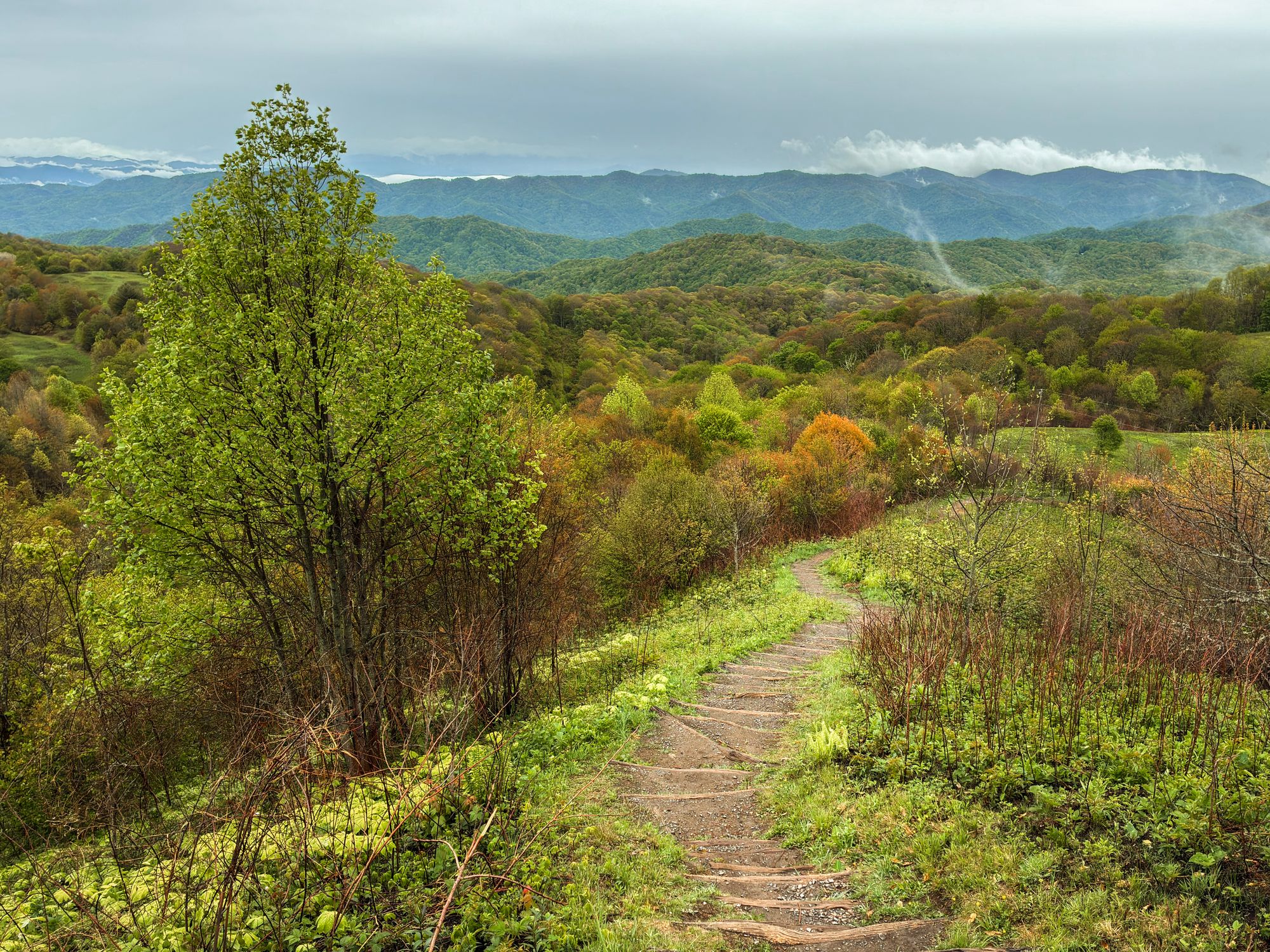
My favorite sections of the entire trail were the areas are Max Patch, Roan Highlands, and Greyson Highlands, as well as the Green Mountains in Vermont.
Some cool trail towns I’d revisit: Franklin, NC, Hot Springs, NC, Buena Vista, VA, Boiling Springs, PA, Delaware Water Gap, PA, Great Barrington, MA, and Millinocket, ME.
A lot of folks strive to do a thru-hike, where they hike the entire trail in a calendar year. I will likely never be a thru-hiker, and I don’t regret it. The first time I was running out of time and was satisfied enough to quit. The second time I was satisfied, ready to move on to new projects, and also saw no point in re-hashing the same northern half of the hike just for ego and bragging rights, at least from my own perspective. The result was two LASH hikes (long-ass-section-hikes) with a huge bonus: two honeymoon periods where I loved almost every day of hiking before it turned into a job in itself!
As a new challenge as for my own posterity, I vlogged every day I was hiking and was able to edit and upload from my phone. This was a challenge in itself, particularly dealing with flaky wifi when trying to upload, but overall it was fun and surprising the quality of video you can get without lugging around a large camera and computer.
For those interested, the whole video series is in a playlist viewable on my YouTube Photography Channel.
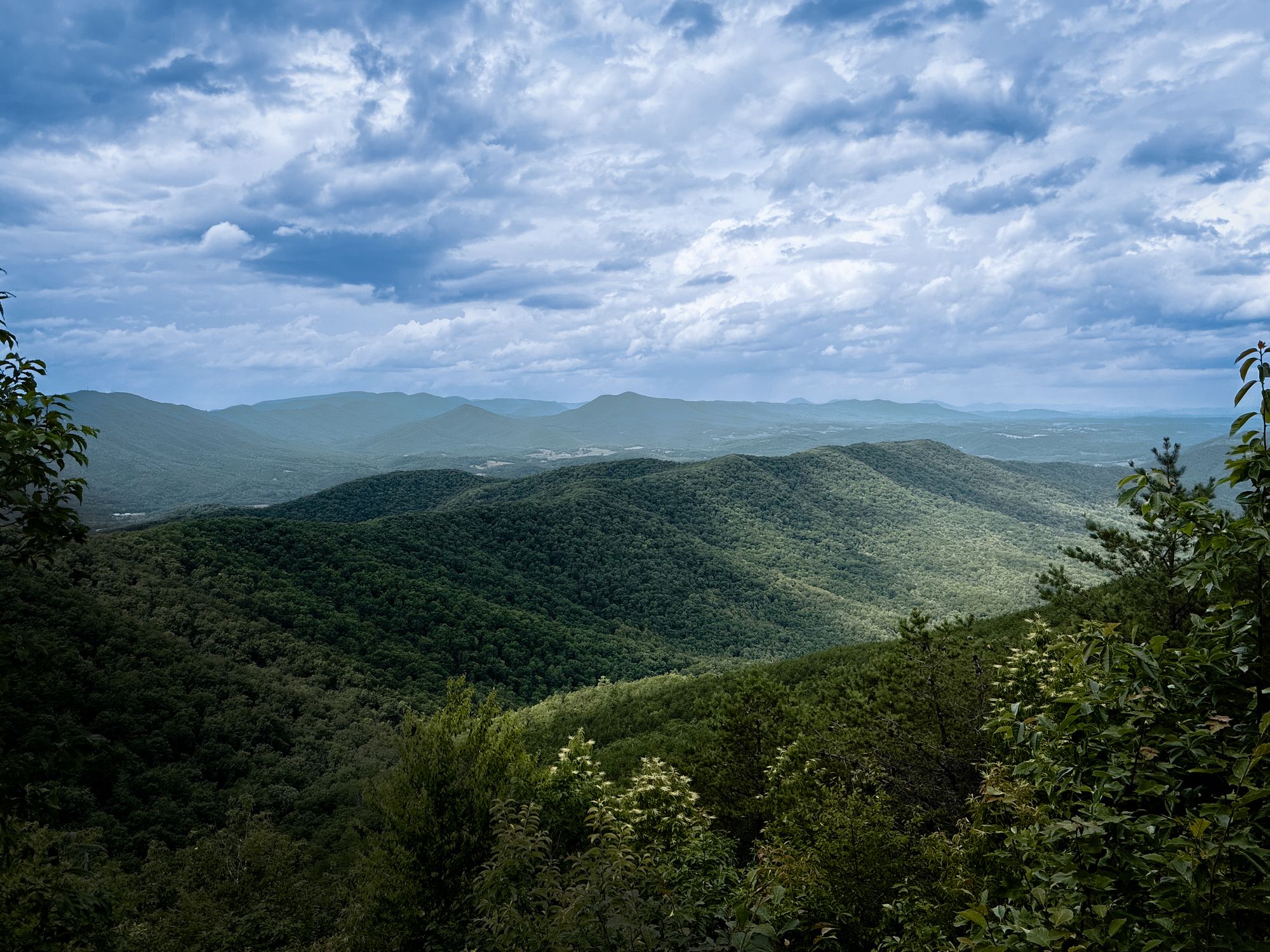
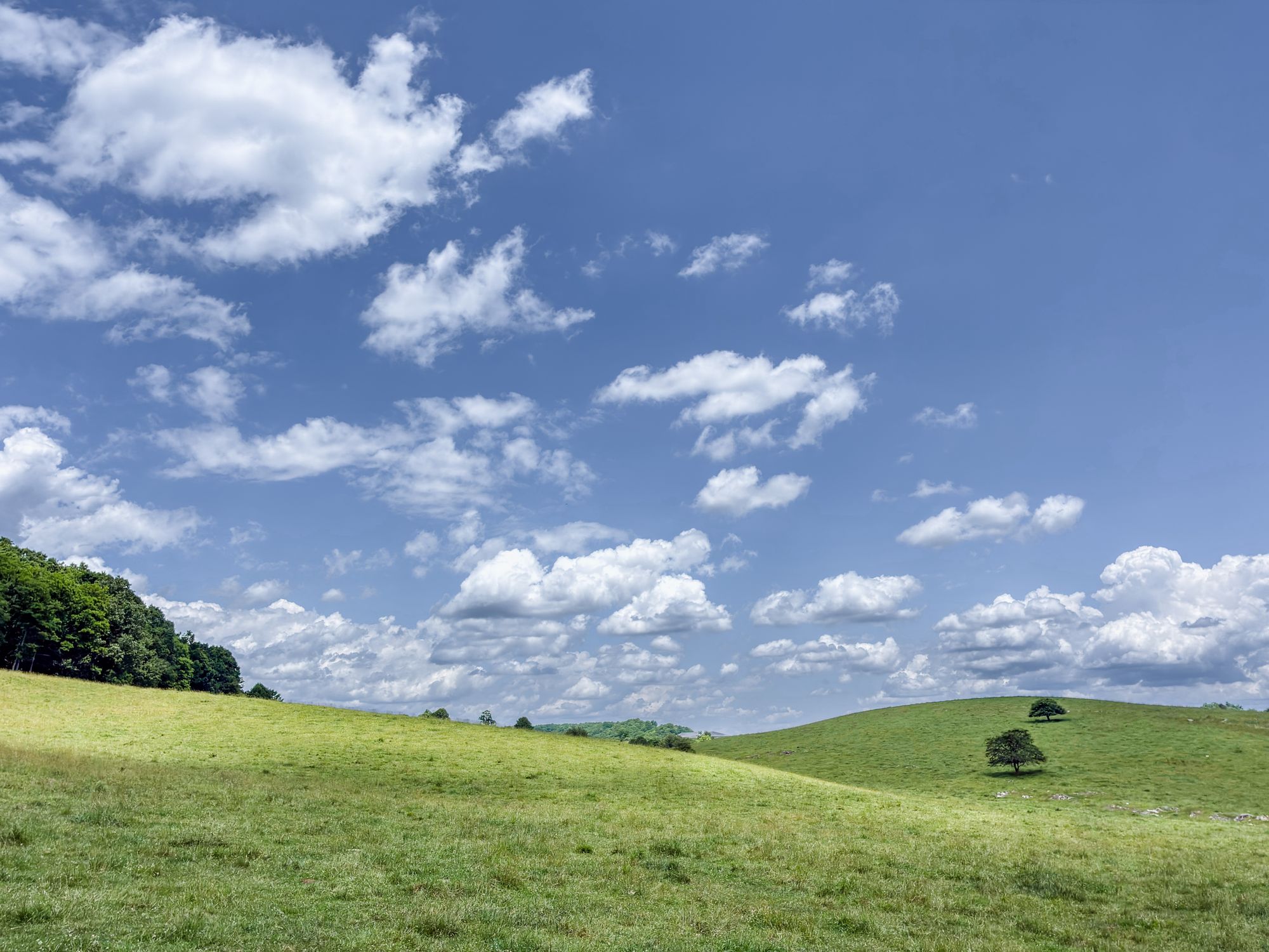
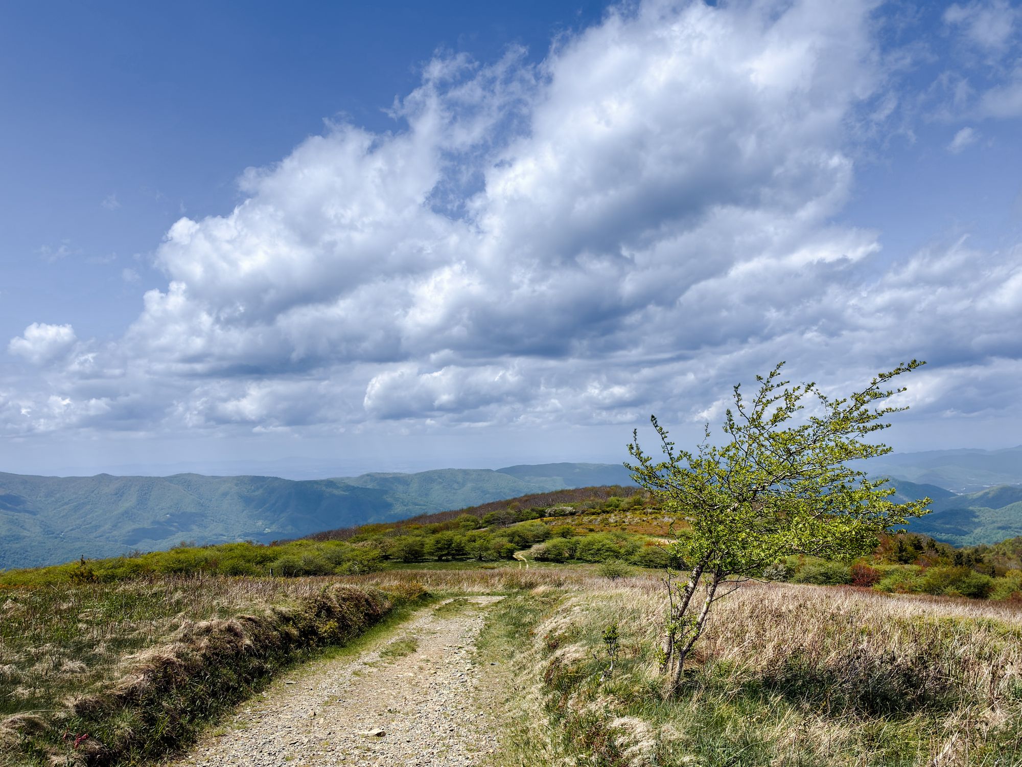
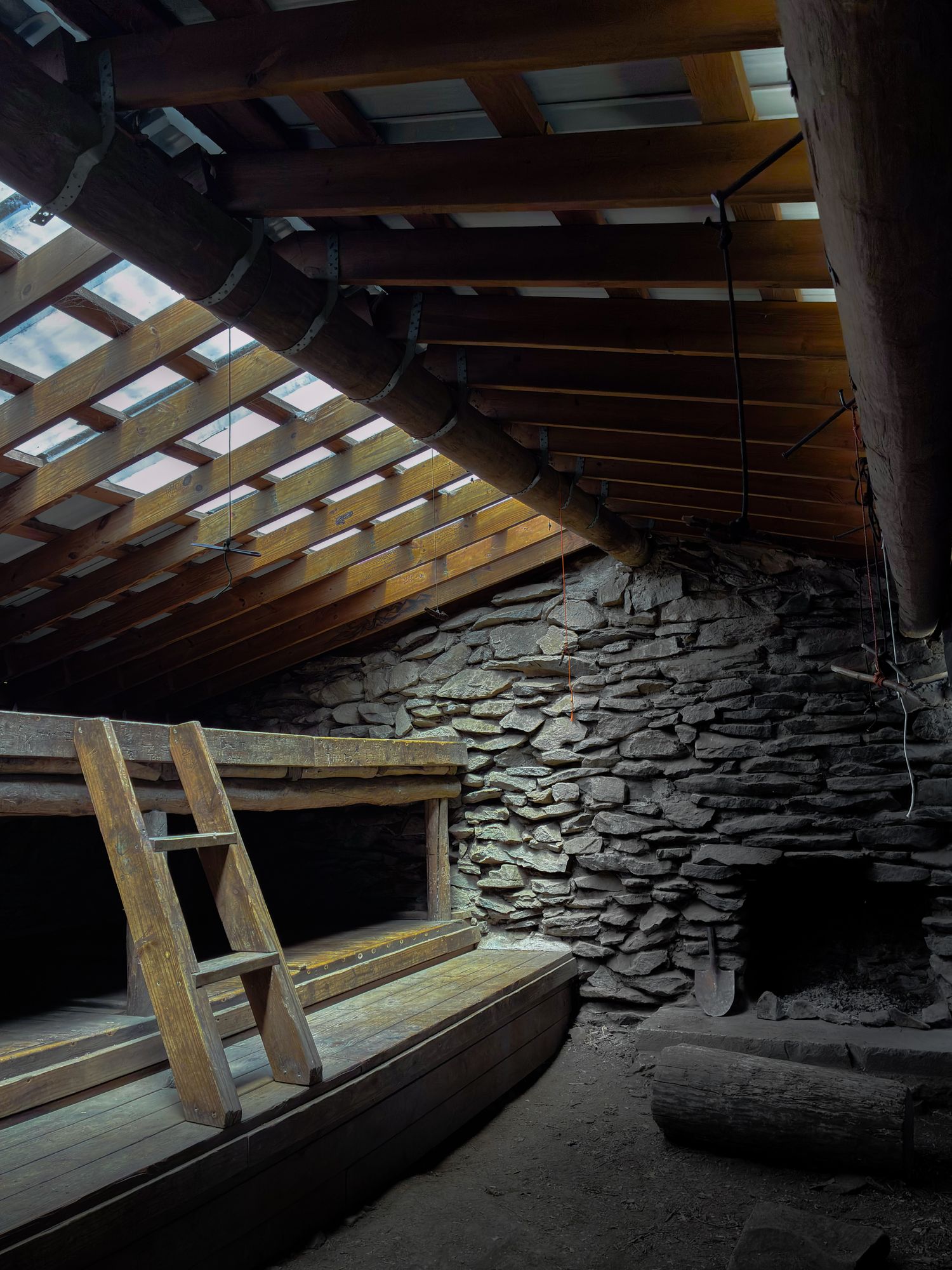
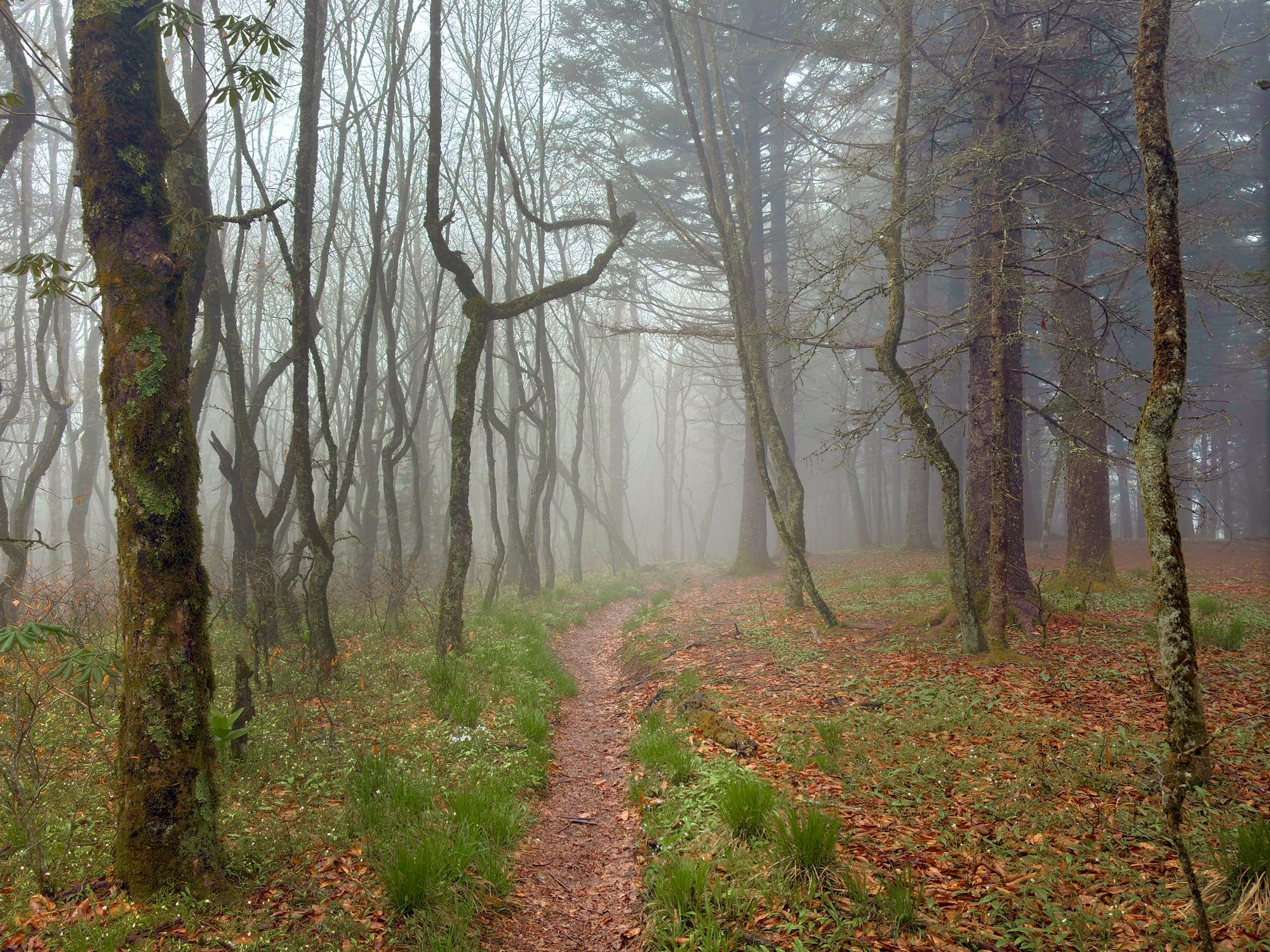
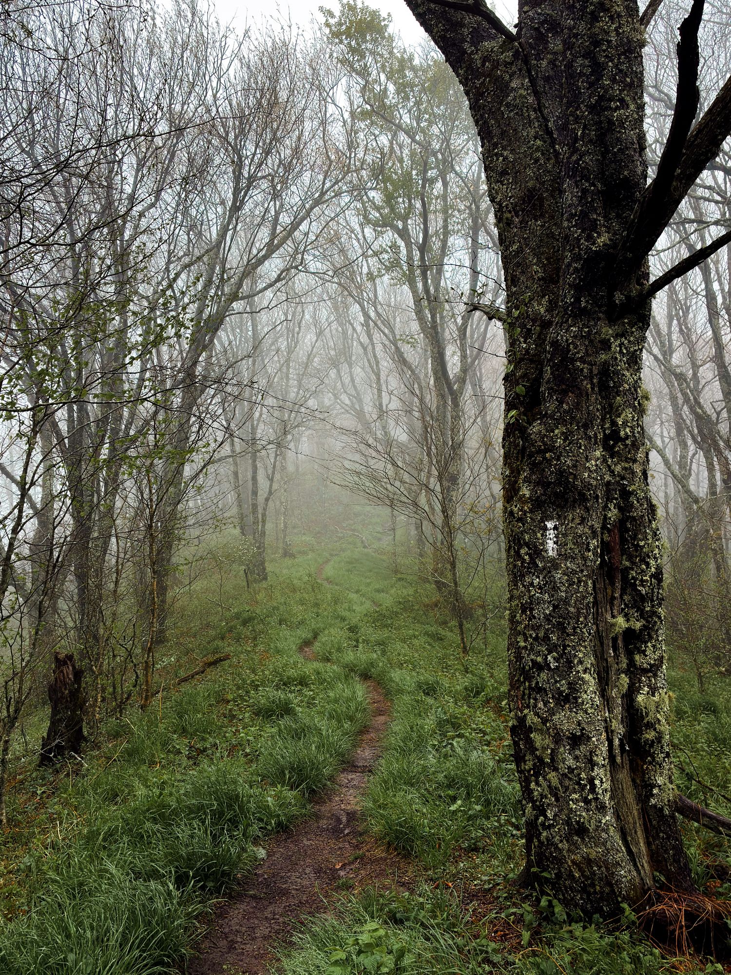
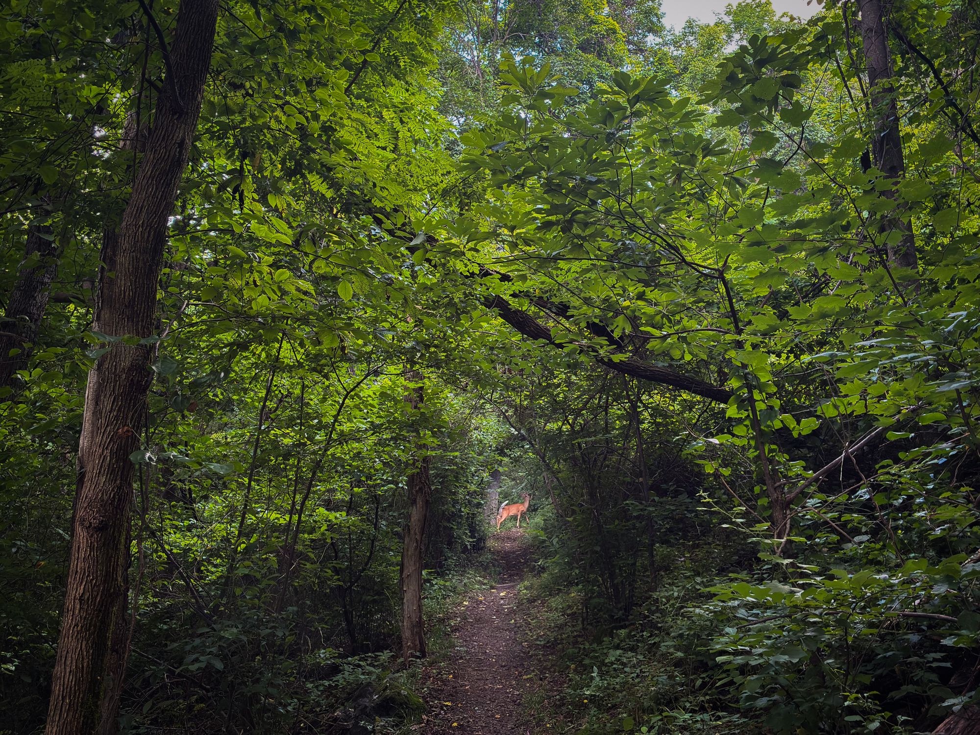
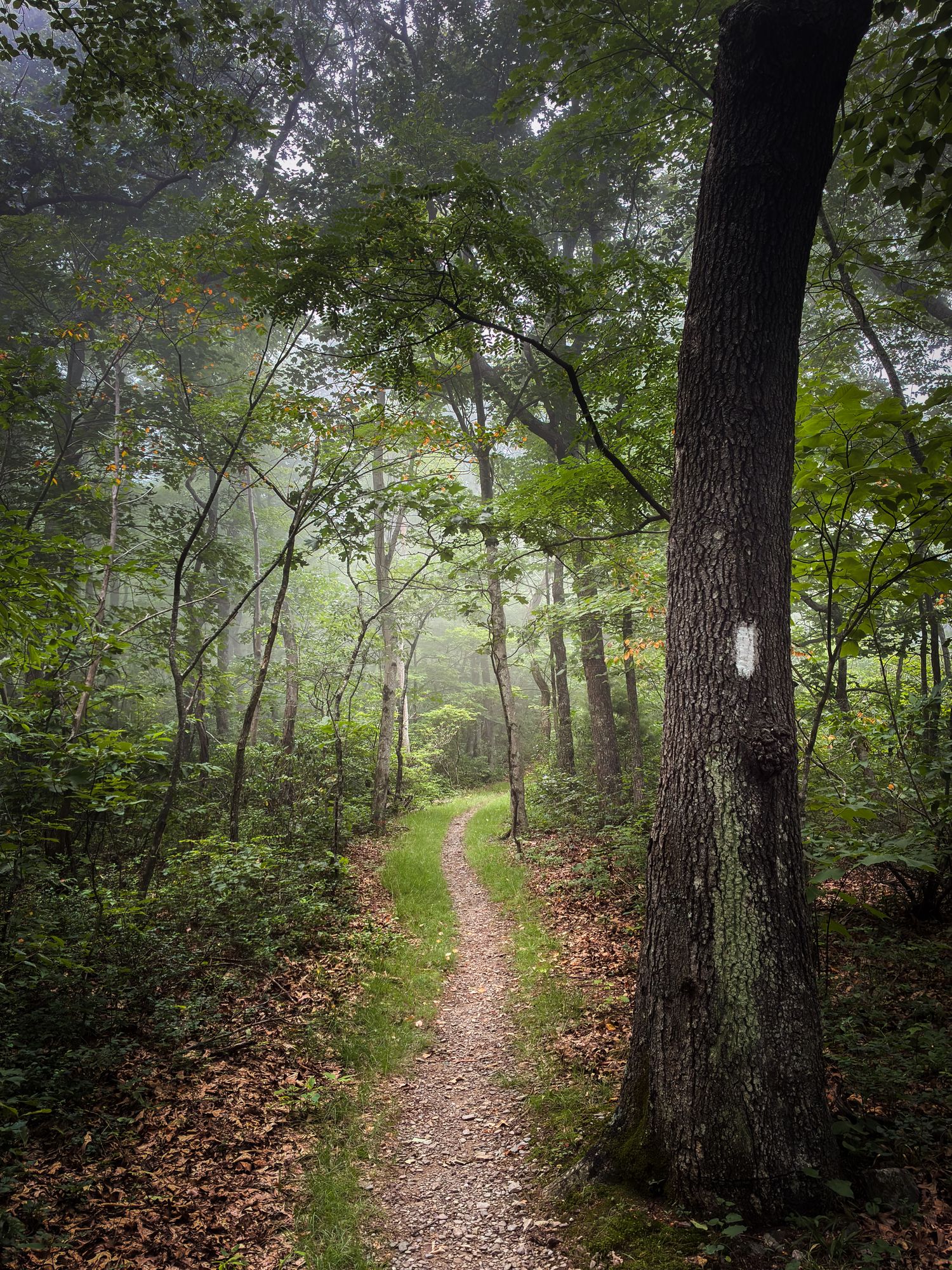
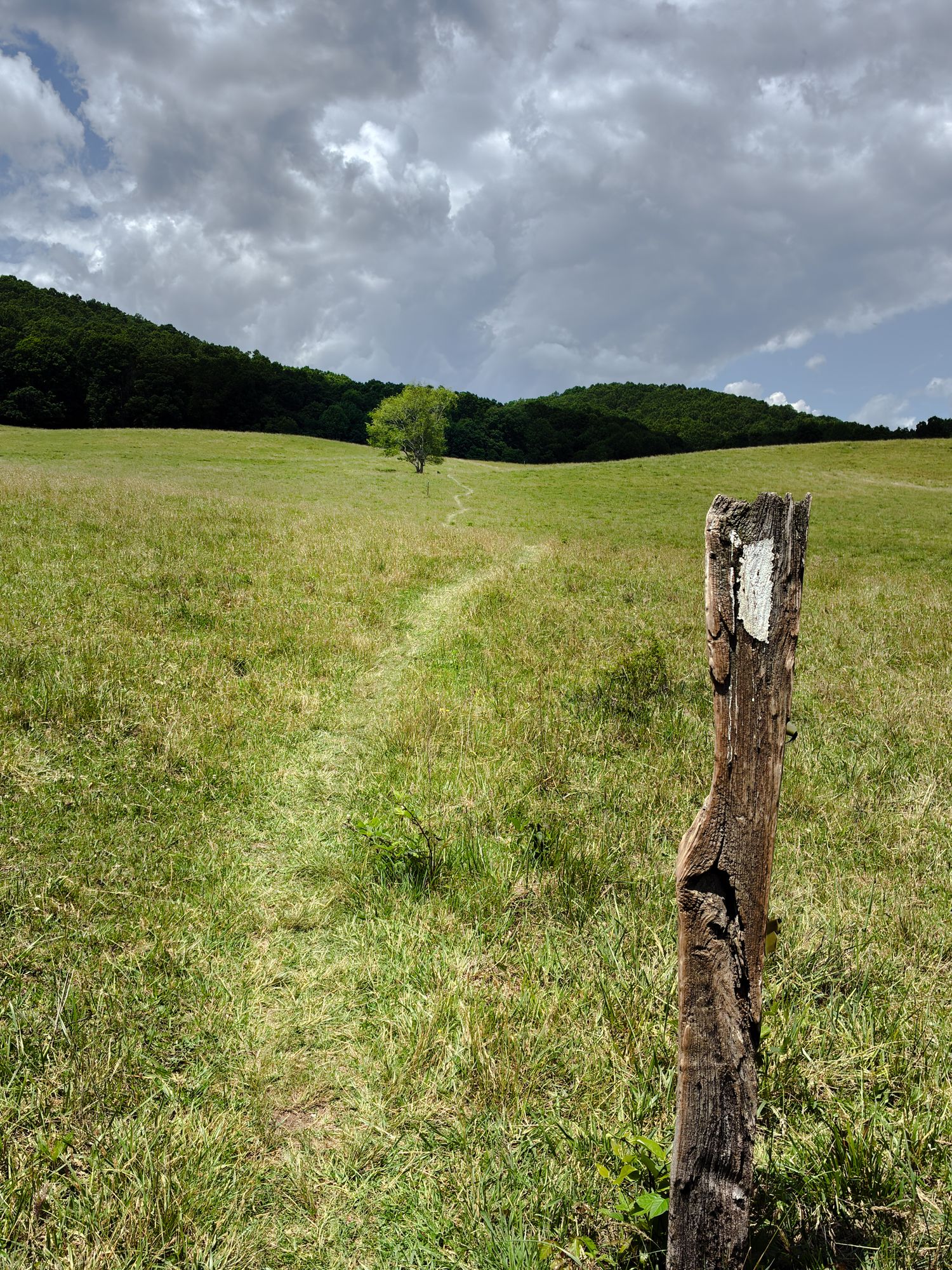
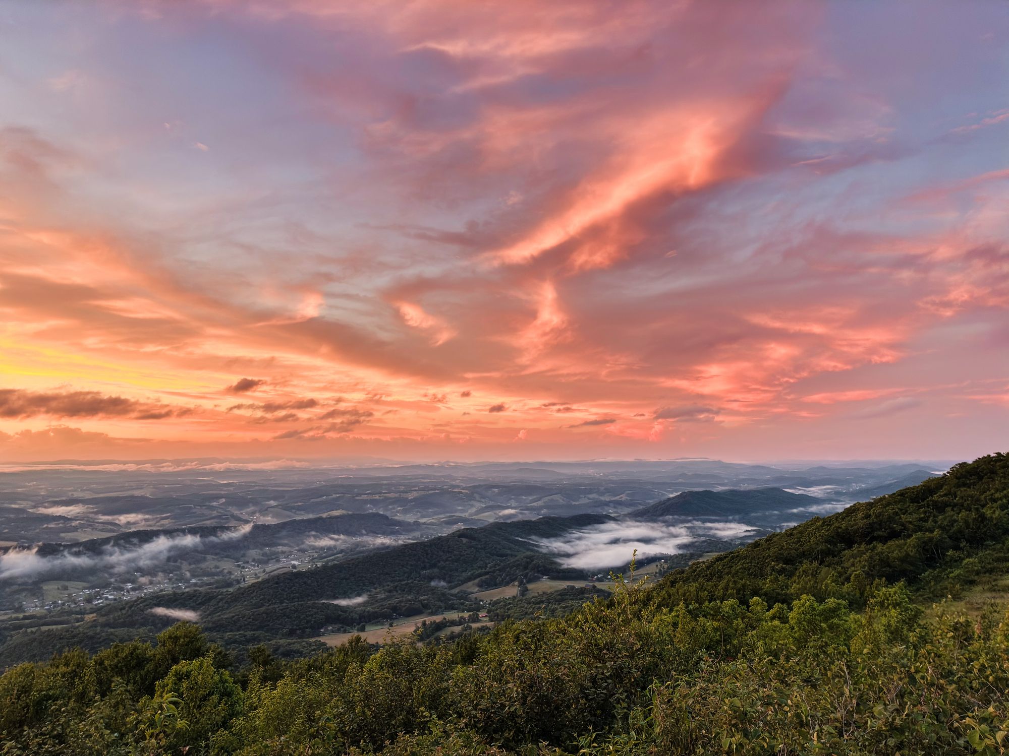
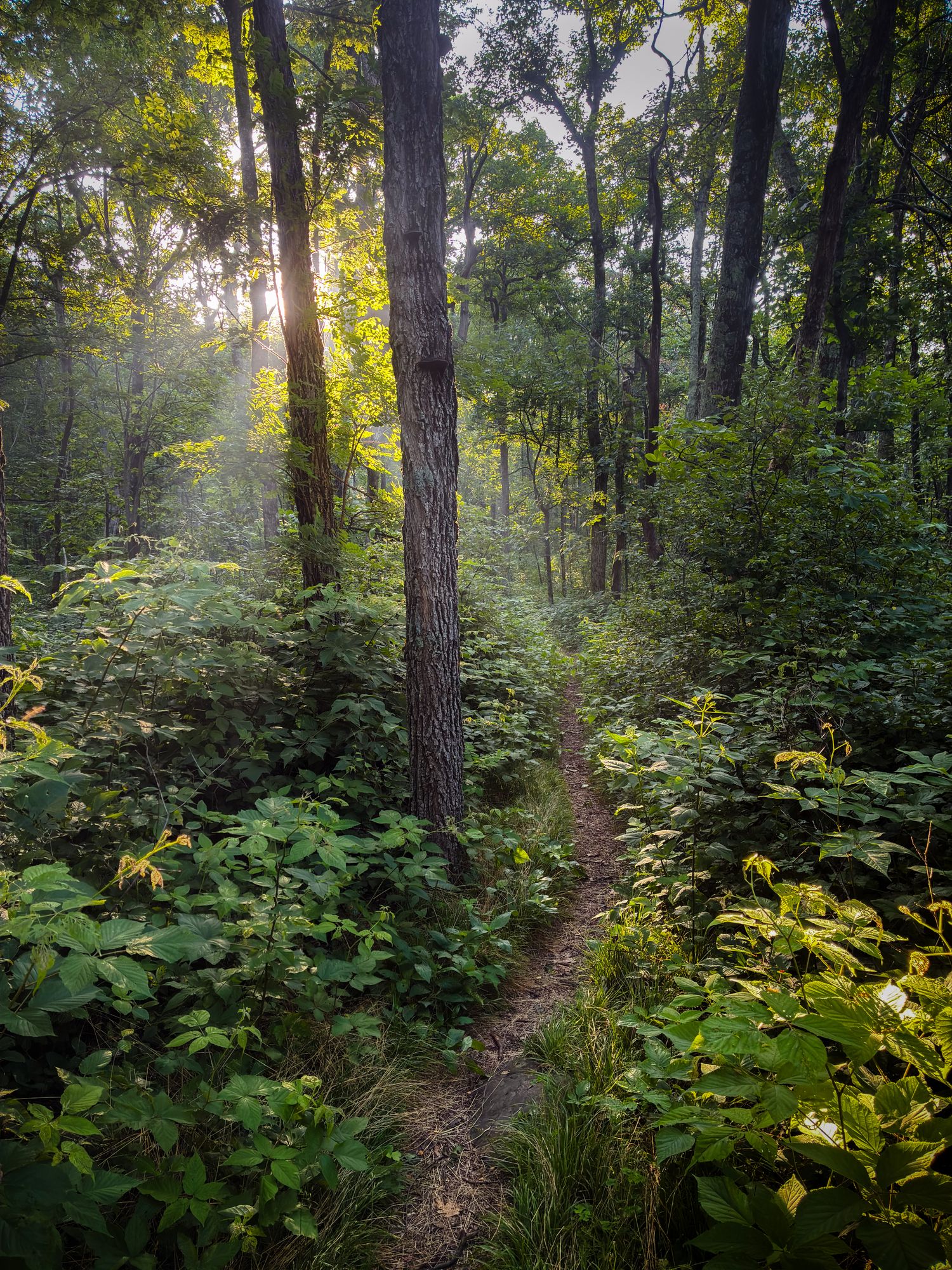
And of course I took a bunch of photos! Below are a very select few. These were all shot on my iPhone 16e with the No Fusion app, then edited on my desktop in Lightroom Classic.
Comments